Hurricane Erin Threatens East Coast With Swell, Rip Currents
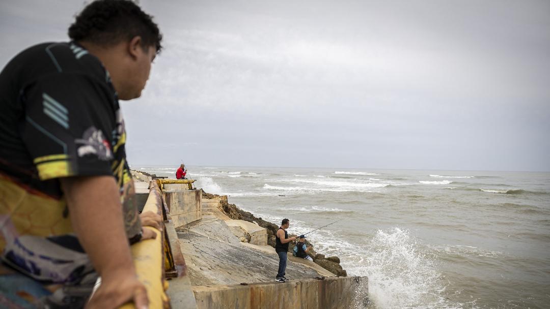
The Facts
- Hurricane Erin weakened to a Category 2 storm on Tuesday, with maximum sustained winds of 105 mph (190 kph) as it moved north-northwest through the Atlantic Ocean, still hundreds of miles offshore from the U.S. East Coast.
- The hurricane, which was moving at 9 mph northwest but isn't expected to make landfall, led to mandatory evacuations for Hatteras Island and Ocracoke Island in North Carolina, due to the expected life-threatening storm surge of 2 to 4 feet from Cape Lookout to Duck.
- The National Hurricane Center issued tropical storm warnings from Beaufort Inlet to Duck, N.C., with conditions expected to begin late Wednesday as the storm passes closest to the coast.


The Spin
Climate-concerned narrative
Hurricane Erin's rapid intensification and vast reach signal the growing threat of climate change. While immediate safety measures like evacuations are critical, Erin's historic strength and early formation highlight the urgent need to address warming oceans and intensifying storms. This issue must be tackled to mitigate future climate-driven disasters.

Climate-skeptic narrative
Hurricane impacts highlight the danger of climate alarmism, which diverts resources from communities that need resilient infrastructure to survive inevitable storms. Pushing "green" dogma over practical solutions, like flood defenses or reliable energy, harms communities — raising costs and cutting jobs. Focusing on fear instead of preparedness leaves vulnerable areas more vulnerable.


Metaculus Prediction
© 2026 Improve the News Foundation.
All rights reserved.
Version 7.18.2